Who we are

Based in Auckland, New Zealand, Altitude Analytics is the premier provider of precision drone mapping and geospatial analytics. We harness the power of aerial data to deliver actionable insights, helping businesses, industries, and organisations make smarter decisions with confidence.
Founded by a team of seasoned geospatial professionals with a combined 40 years of expertise in areas including land use, planning, defence and local government, we bring a wealth of knowledge to every project.
Our mission is simple: to deliver practical drone solutions that save time, improve accuracy, and make your job easier.
What sets us apart is not just our technology but our years of experience communicating and presenting data, meaning the insights aren’t lost in translation.
What sets us apart isn’t just our technology—it’s how we turn data into meaningful insights. We work closely with our clients to understand their unique challenges, then provide clear, actionable intelligence tailored to their needs. Whether it’s precision mapping, asset inspections, or large-scale environmental analysis, we ensure that our data translates into real-world value.
We are committed to collaborating with you so our analysis translates into practical, usable information that makes a real difference for your business
Meet the Team
-

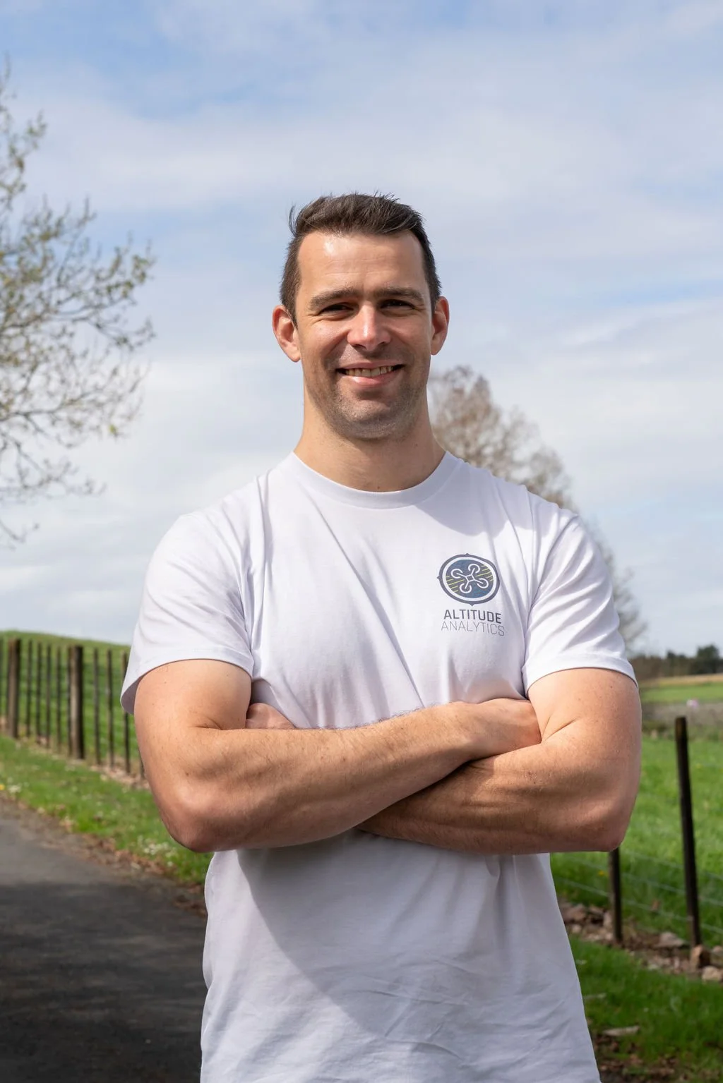
Mitesh Bhula
AERIAL SOLUTIONS MANAGER
Growing up on his family's farm in Pukekohe, Mitesh was immersed in the horticulture and agriculture industries from a young age. This early exposure gave him a hands-on understanding of the challenges and opportunities that farmers face daily.With over 12 years of experience in the geospatial industry, including roles with the NZ Defence Force and Auckland Council, Mitesh combines his technical expertise with a deep-rooted passion for agriculture and is committed to developing practical, innovative solutions that truly meet the needs of growers.
Mitesh is enthusiastic about leading the charge in smart farming, where advanced technology and traditional farming practices merge to create more sustainable and efficient agricultural systems. He’s always looking for new ways to help farmers work smarter, not harder.
-
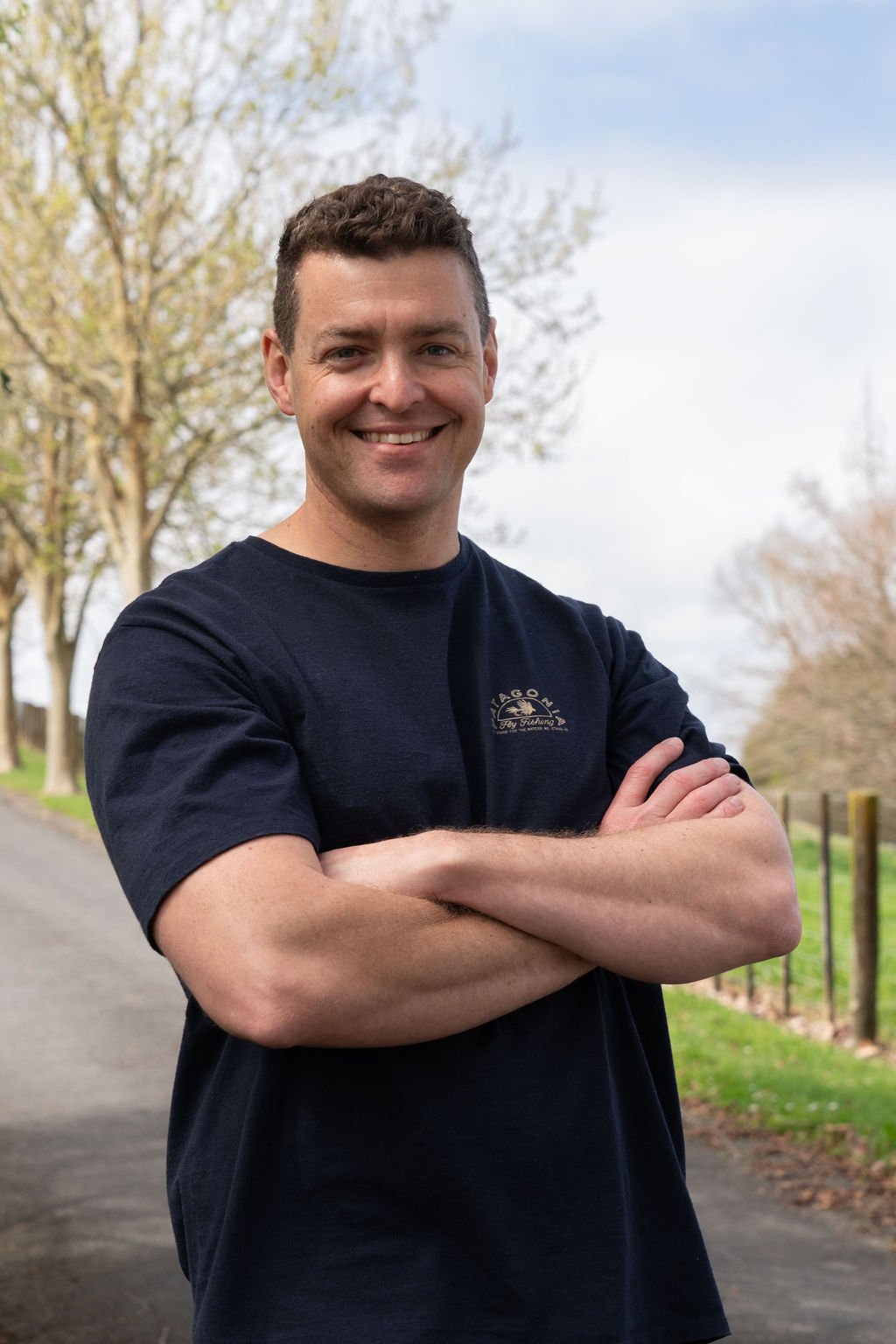
Dan Scanlen
GEOSPATIAL TECHNOLOGY LEAD
Dan has spent over a decade refining his skills as a software developer and geospatial analyst with the NZ Defence Force and Royal New Zealand Air Force.His passion lies in transforming complex geospatial data into clear, actionable insights that can drive better decision-making.
Dan’s unique ability to bridge the gap between highly technical processes and practical applications allows him to develop robust software solutions that are both innovative and actually usable and informative.
He thrives on collaboration and working closely with a variety of stakeholders to ensure that our solutions not only meet but exceed client expectations.
-
Andrew Price
HEAD OF GEOSPATIAL INSIGHTS & ANALYSIS
Andrew Price is a geospatial and data visualisation professional with over 15 years of experience.His career has spanned both the corporate and public sectors, where he has provided critical analytical support to organisations such as the NZ Defence Force, Customs, Police, Auckland Council, and even elite sports teams.
Andrew is passionate about making complex information accessible and meaningful through the art of data visualisation. He excels in turning raw data into compelling visual narratives that empower clients to make informed decisions.
Andrew's expertise covers the full spectrum of analytics, from data processing and management through to advanced cartography and visualisation. He’s dedicated to helping clients unlock the full potential of their data, providing insights which drive operational success.
