Drone-Based Services
-
Construction Monitoring
Stay on top of progress with precision. Our drone-based construction monitoring service delivers high-resolution imagery and accurate geospatial data to help you track site developments, verify contractor work, and maintain compliance over the course of your project.
With scheduled aerial updates and 3D modelling options, you’ll have a complete visual record of your site—every step of the way.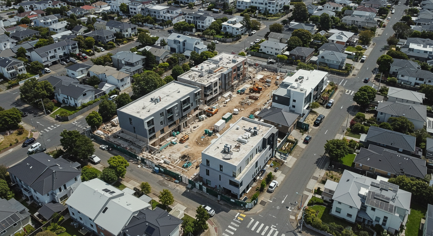
-
Environmental Monitoring
Monitor ecosystems and track environmental changes with drone-based data collection.
Whether assessing water quality, tracking deforestation, or monitoring wildlife habitats, Altitude Analytics’ advanced imaging and geospatial analysis provides detailed insights to support conservation efforts and sustainable management practices.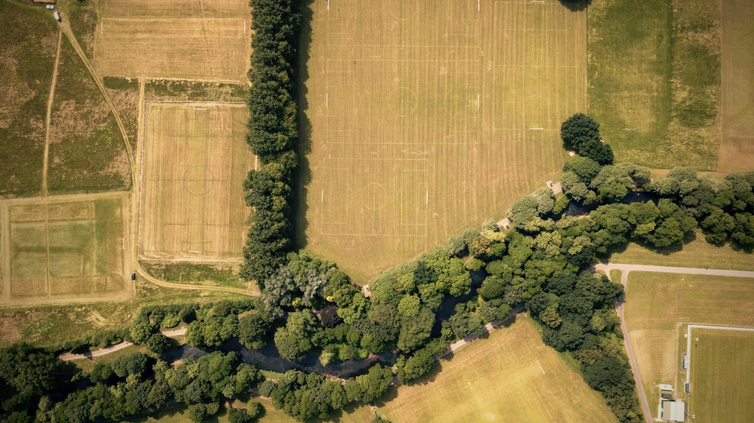
-
Golf Courses
Altitude Analytics created LinkOps, an all-in-one platform for golf course management.
With LinkOps you can monitor and quantify change, target issues early, track your greens and vegetation health simply, and make informed decisions with confidence.
-
Disaster Response & Damage Assessment
Altitude Analytics provide rapid aerial assessments after natural disasters like floods, fires, or storms.Our drone services deliver real-time, ultra high-resolution data to assess damage, guide relief efforts, and support recovery planning, enabling quick and informed decision-making when time is critical.

-
Forestry Monitoring
Monitor forest health and detect changes in vegetation with our advanced multispectral and thermal imaging.
Whether tracking deforestation, managing timber resources, or identifying disease outbreaks, Altitude Analytics offer an efficient way to gather comprehensive data across large areas.

-
Roof Inspections
No building too is big or too small. Altitude Analytics provides rapid roof assessments of everything from warehouses to residential dwellings.
Identify damage, assess wear and tear, and streamline maintenance without the need for costly scaffolding or manual inspections.
No ladders, no health and safety concerns - simple, safe and affordable.

-
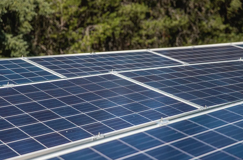
Solar Farm Inspections
Ensure your solar panels perform at their best with our thermal drone inspections.
We detect faulty cells, hotspots, and potential issues quickly and accurately, helping you maintain optimal efficiency and extend the lifespan of your solar array.
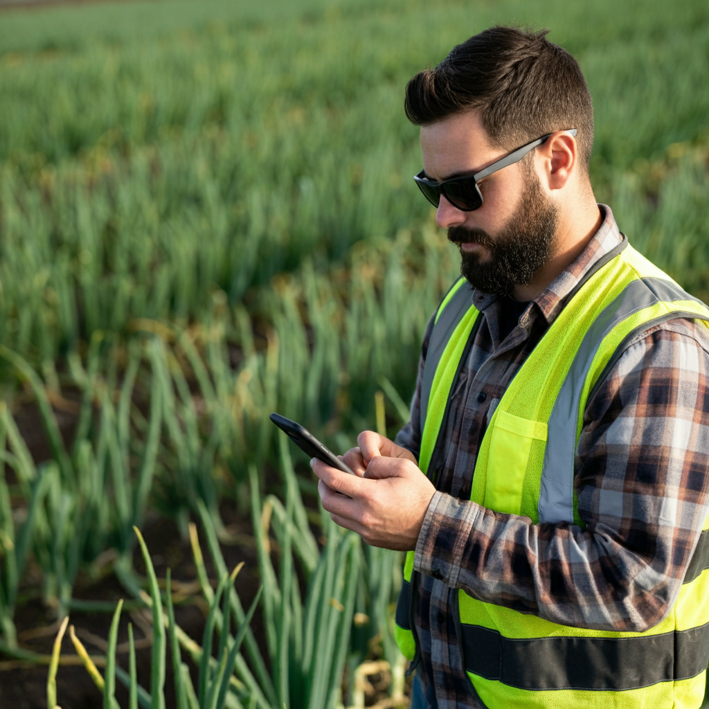
Agricultural specific services
-
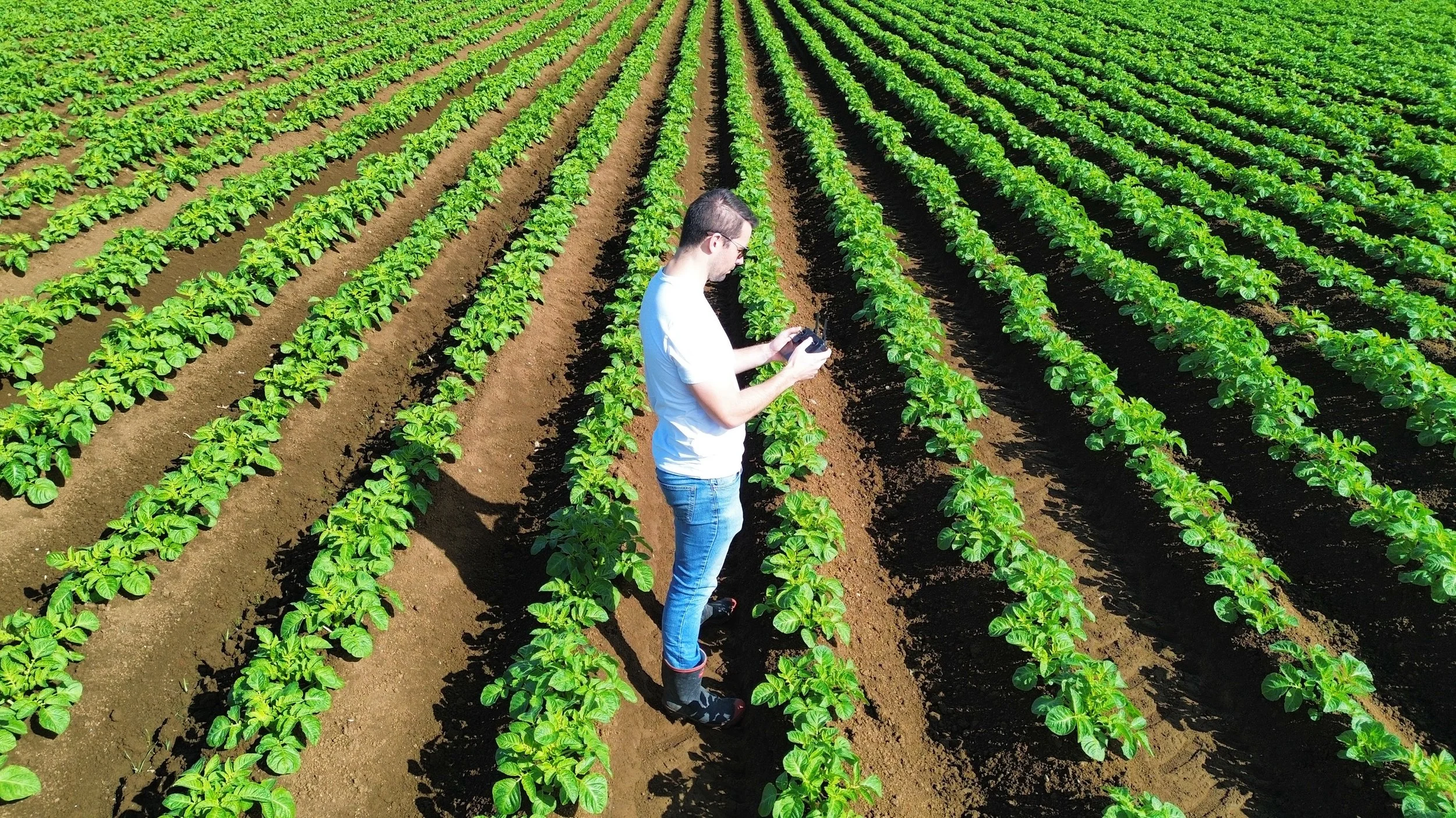
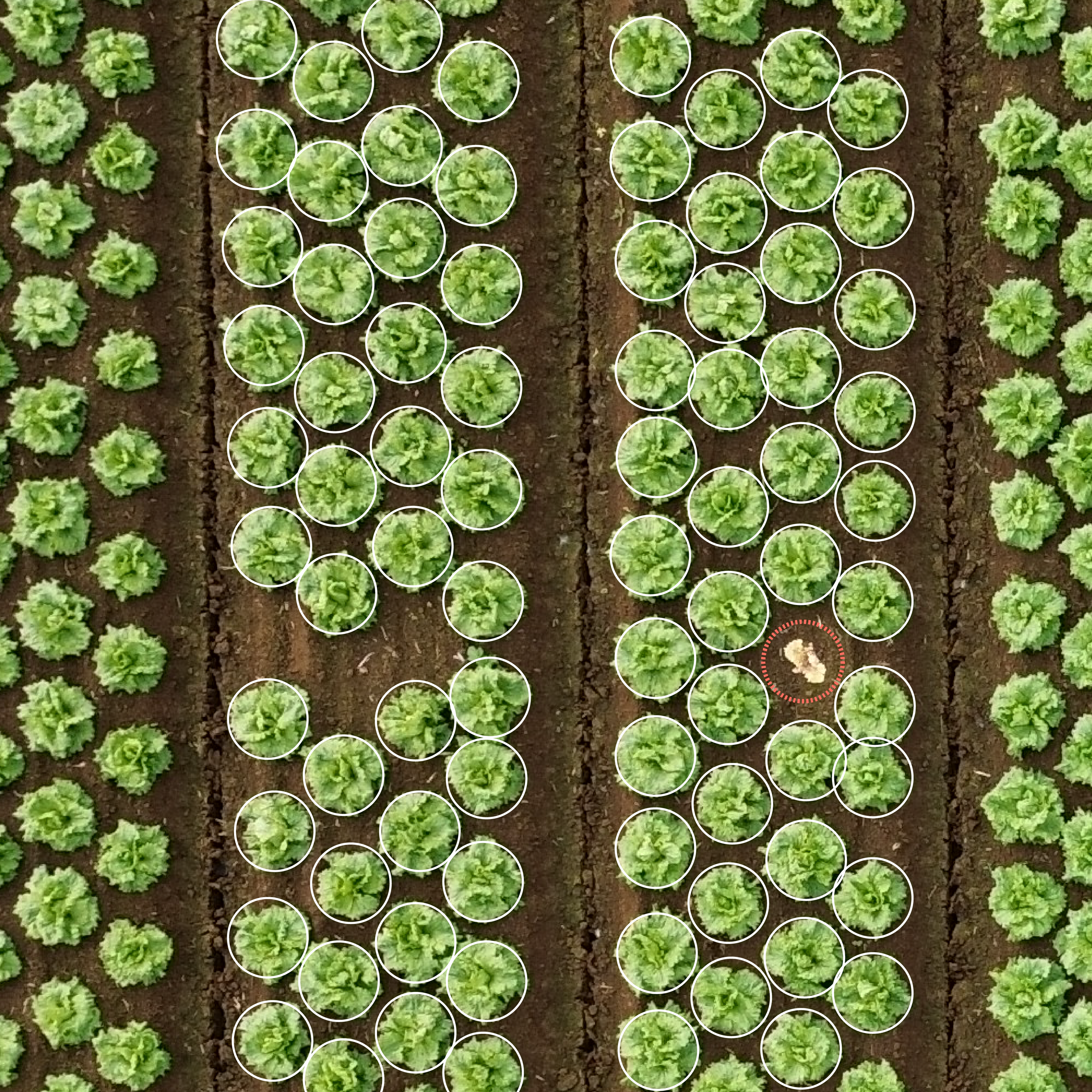
Crop Counting & Yield Prediction
Altitude Analytics can tell you how many crops you have in the ground and provide you with up-to-date tracking of their size and condition as they grow.
-
Crop Monitoring
Real-time insights into the growth and health of your crops.
Altitude Analytics captures multispectral imaging which helps you track crop development, detect stress, and manage irrigation.

-
Zonal Management & Analytics
Analyse distinct growing zones or sectors with our interactive maps to get detailed insights into your crop health and variability.

-
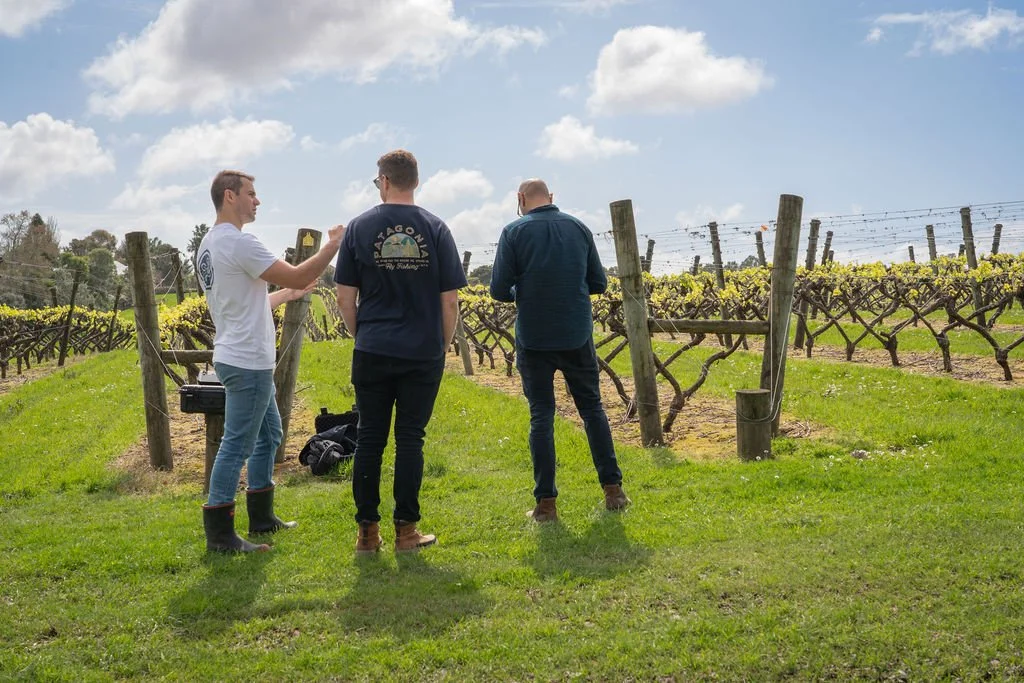
Farm & Orchard Mapping
Our Farm Mapping service provides detailed and precise maps of your farm or orchard.
We don’t just recycle blurry satellite imagery, we capture brand-new ultra high-resolution images and create up-to-date maps in both 2D and 3D.

-
3D Modelling
Our 3D modelling service creates accurate, high-resolution three-dimensional models of your terrain, infrastructure, and crop layouts, helping you make informed decisions about everything from irrigation planning to construction projects.
-
Weed Detection
High-resolution drone imagery identifies and maps weed infestations across your fields allowing for precise weed management strategies, reducing the need for blanket herbicide applications.

-
Mobile data capture
Collect your own insights on your mobile device as you scout your fields and upload them live to your Altitude Analytics Dashboard to share with your organisation, contractors and stakeholders.
-
Geospatial Services & Data Analytics
Altitude Analytics is your one-stop-solution for all your geospatial and data needs.
We handle the full life cycle of your data, from the initial capture or collection to processing, storing and management right through to data visualisation, mapping and outputs
Altitude Analytics offers fully integrated digital solutions for your business.
Our products are delivered to you via a personalised, interactive dashboard. No additional software, printers, or experience is required.
Connect to your data live while you’re in the field, and work with us to collect and share your own valuable insights as you scout your land.
Our analysis and data connects seamlessly with your existing GIS system too.


WE’LL DESIGN A CUSTOM SOLUTION FOR YOUR SPECIFIC REQUIREMENTS
Altitude Analytics provide a broad spectrum of services above and beyond those listed above which can be tailored to meet your specific needs.
Whether you require bespoke solutions or customised analytics, our expertise in drone mapping, geospatial solutions and data analysis ensures we can address a wide variety of challenges in agriculture, horticulture and beyond.
Contact us to explore how Altitude Analytics can develop solutions to optimise your specific operations and enhance productivity.
Altitude Analytics offer one-off analysis as well as ongoing monitoring packages for our clients wanting regular scouting of their production and land.
Get in touch to see which solutions are the right fit for your needs