ELEVATED INSIGHTS, GROUNDED SOLUTIONS.
Precision aerial insights for any project, big or small
About
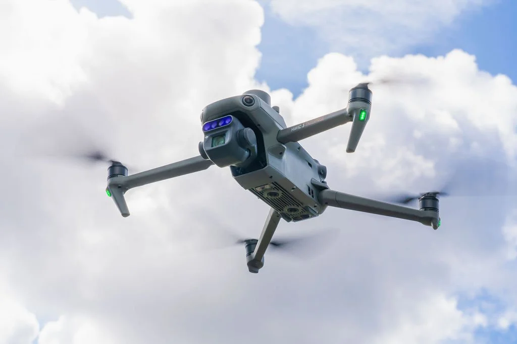
ALTITUDE ANALYTICS
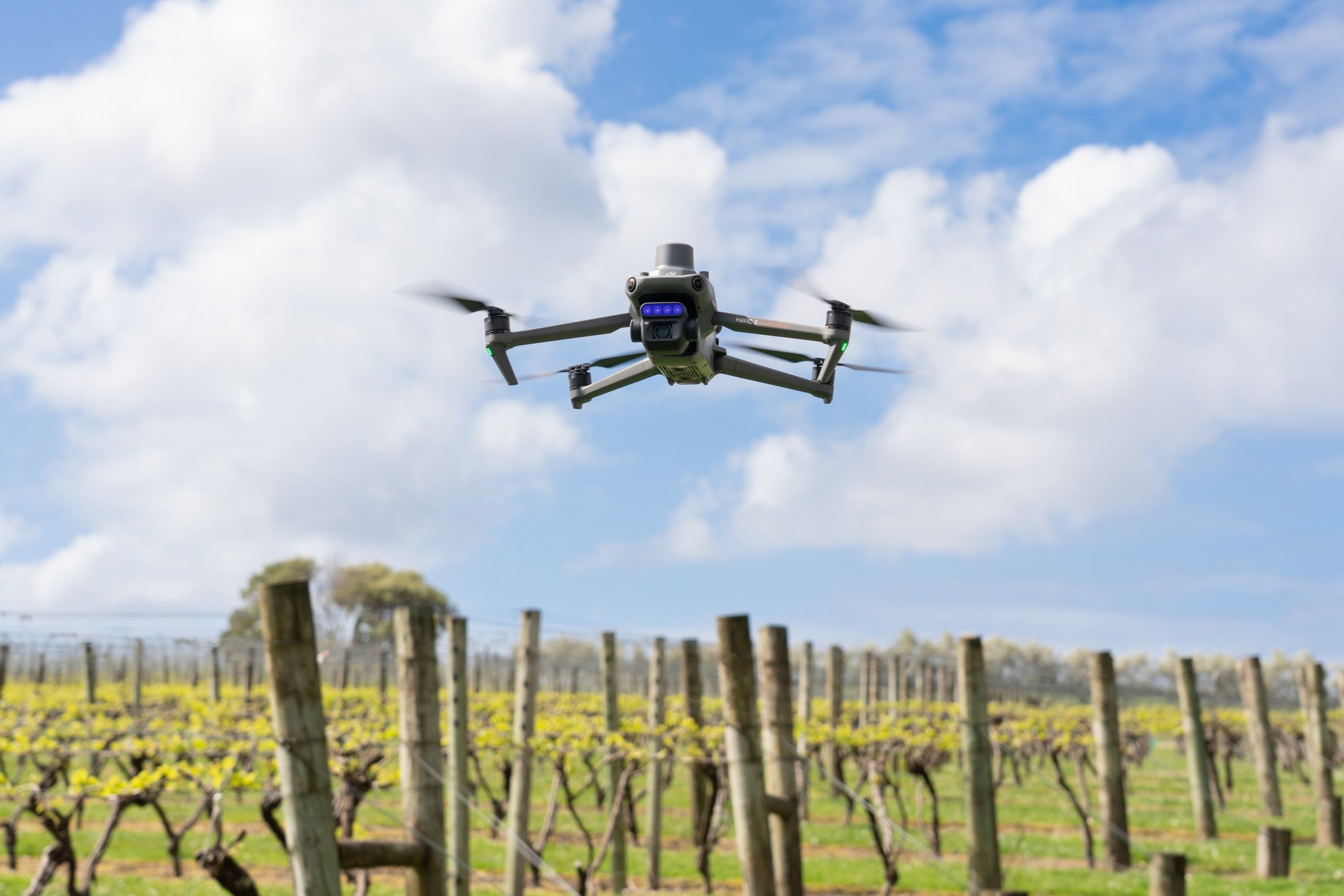
Altitude Analytics is New Zealand’s premier provider of precision drone mapping solutions and geospatial data analytics.
Founded by experts with a collective 40 years of experience, we combine our deep industry knowledge with cutting-edge drone technology to help you drive efficiency, enhance farm productivity, and unlock new insights.
We know that data analysis is useless if it can’t be understood, so our comprehensive suite of services provides sophisticated yet easy-to-understand information to help you make the right decisions with confidence.
Let us handle the data, so you can focus on what matters most.